Wundabiniring Walk overview

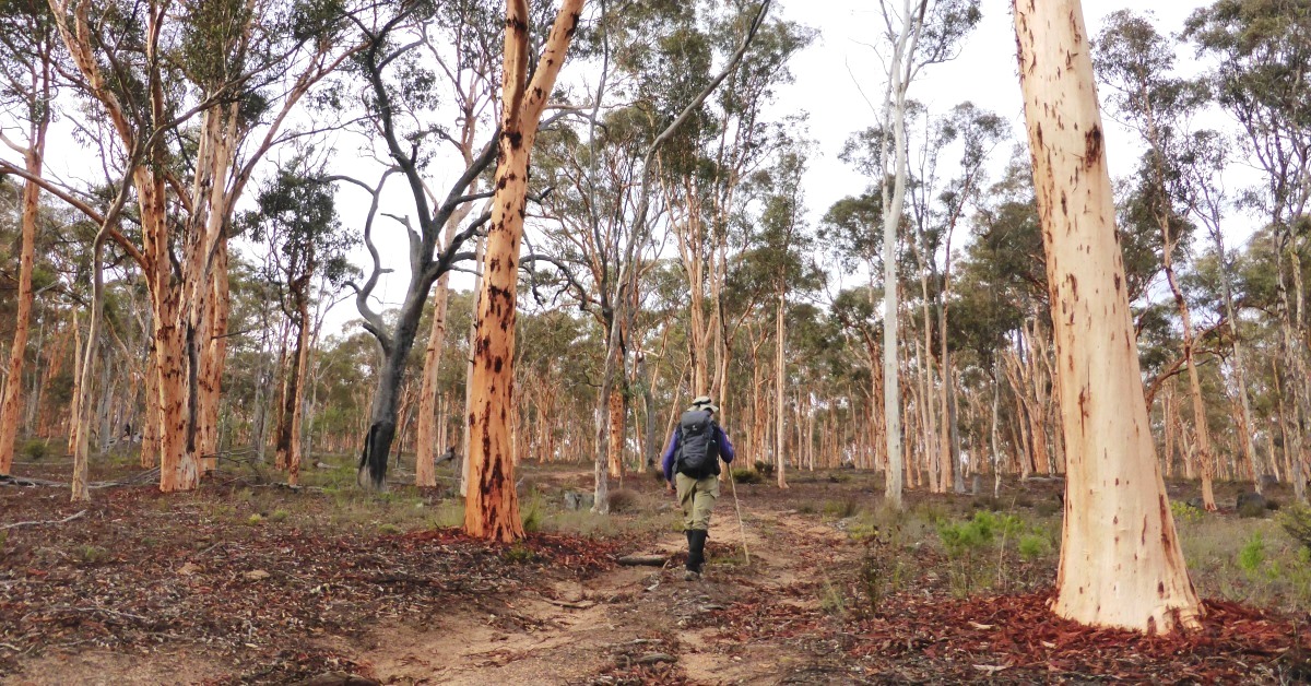
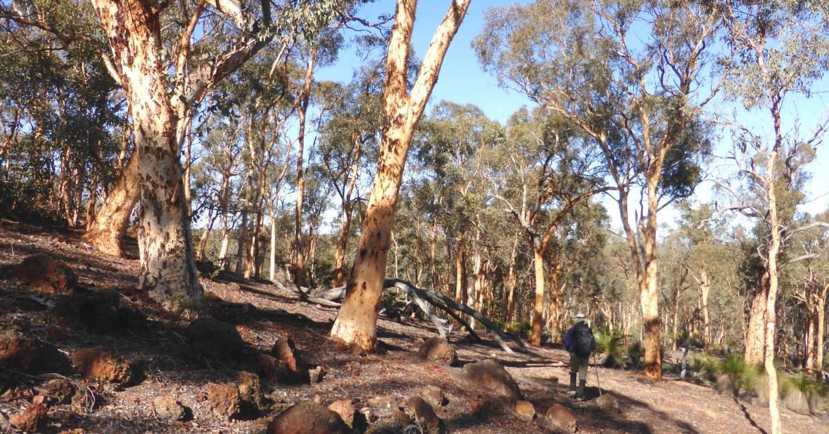
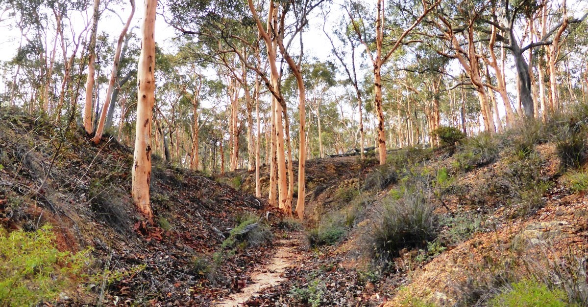
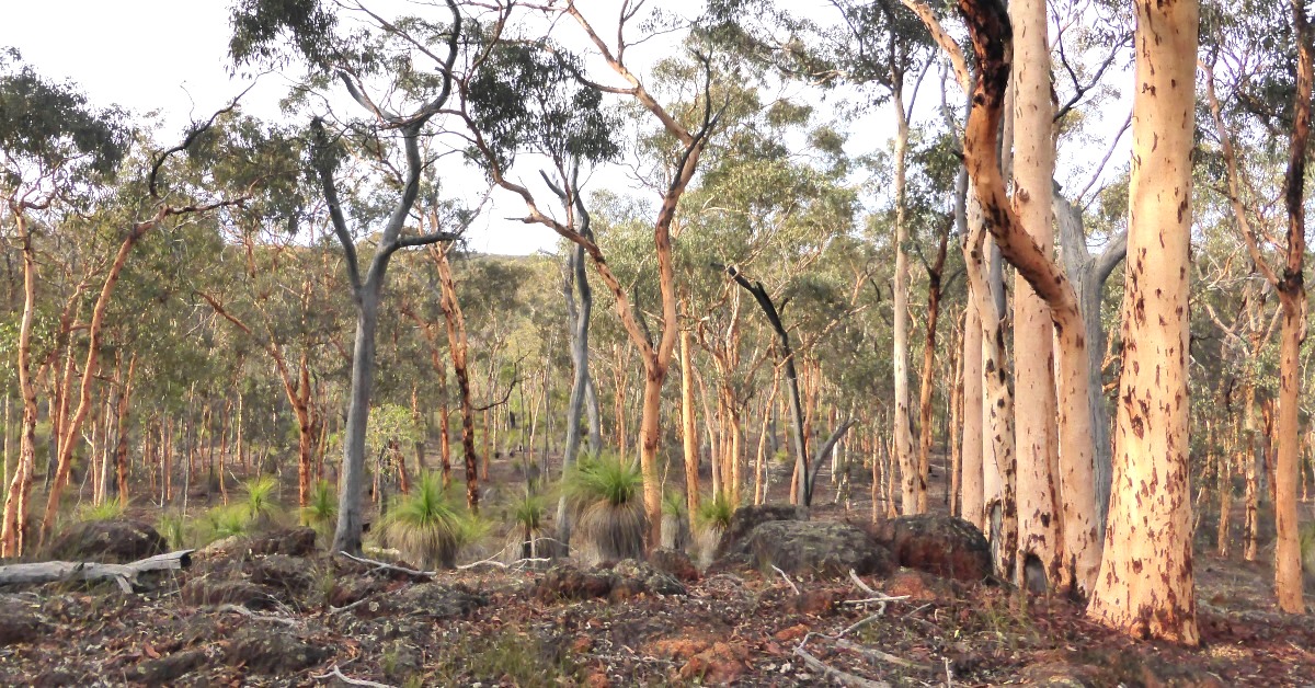
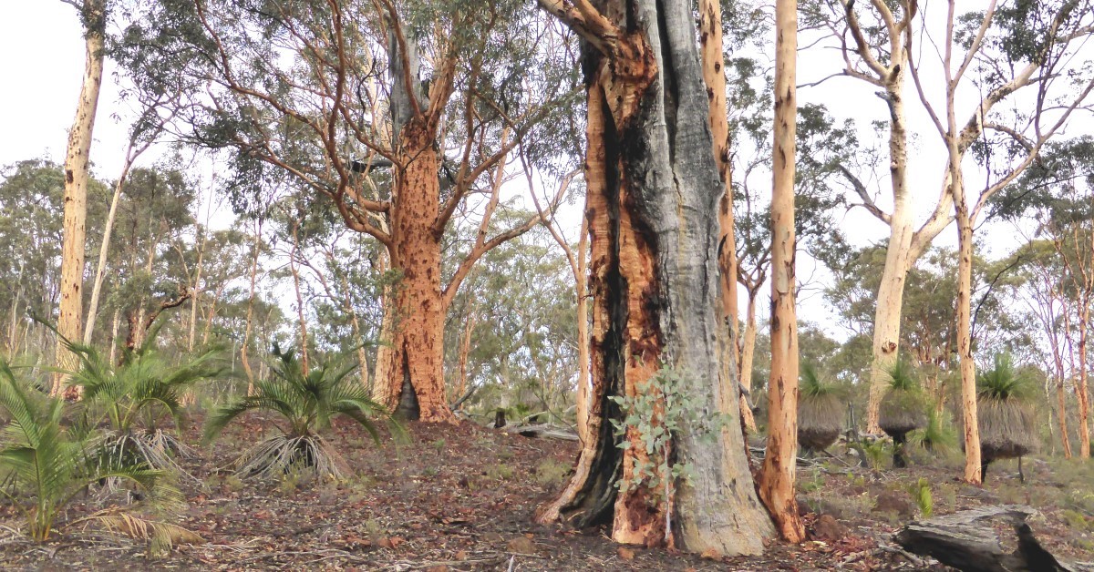
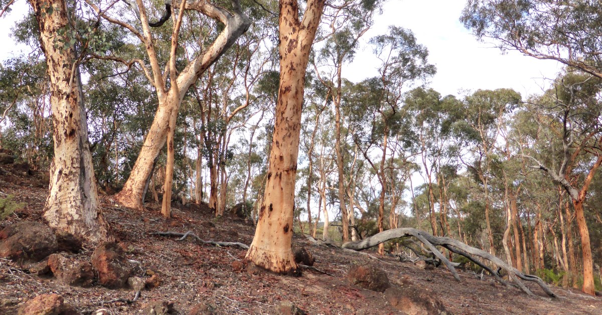
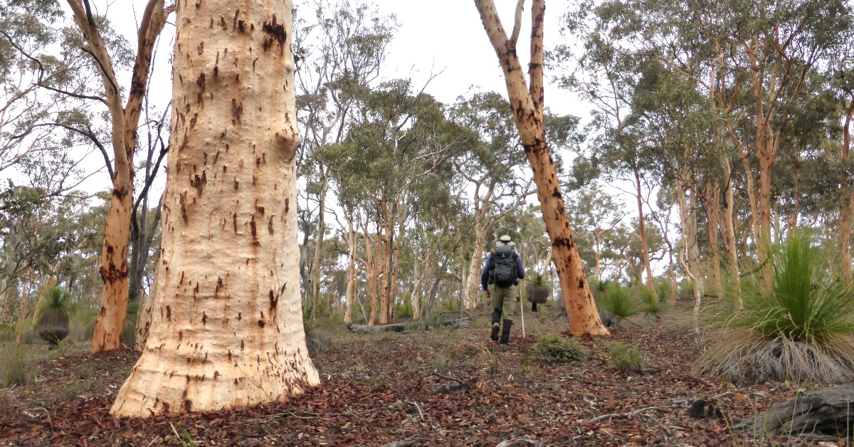
This walk offers one of the easiest introductions to walking in the beautiful open wandoo woodlands of the eastern Darling Range. The area is not part of the Wandoo National Park and does not have nature reserve status, but the flanks of its small valleys and gullies are covered almost everywhere by some of the most delightful woodlands to be seen. The gentle terrain means less uphill walking than other walks. Wundabiniring Brook drains SSW-ward through the centre of the walk area, but will flow only after a good wet winter, when fed via the several small tributary gullies in this ‘headwaters’ area. The woodlands are interrupted in only a few places by small granite outcrops surrounded by sheoak thickets or tea-tree shrubland. Rocky laterite breakaways around several of the hill tops and ridges are a sobering reminder that bauxite is likely present; a target for future mining exploration and potential strip-mining, as elsewhere in the Darling Range.

  • Main features / Highlights

    A one hour’s drive from Perth, this walk offers one of the easiest introductions to walking in the beautiful open wandoo woodlands of the eastern Darling Range, but reasonable (preferably GPS) navigation skills are required to follow the described, mainly off-track  route closely. The terrain is gentler than across the more challenging, longer Mount Observation-Pony Hill Walk area to the SE, requiring less uphill walking. This area is not part of the Wandoo National Park and does not have nature reserve status (unlike the small Woottating Nature Reserve, on Inkpen Rd, closer to The Lakes), but the flanks of its small valleys and gullies are covered almost everywhere by some of the most delightful woodlands to be seen. Despite evidence of early logging, perhaps almost a century ago, the area is not part of today’s State Forest and many impressive, large trees remain. (The area is Crown land managed by Water Corporation as outer drinking water catchment.)  Wundabiniring Brook drains SSW-ward through the centre of the walk area, but will flow only after a good wet winter, when fed via the several small tributary gullies in this ‘headwaters’ area. (The Brook eventually drains into Helena River 8km south of the walk area.) The woodlands are interrupted in only a few places along the walk route by thickets of sheoak (Allocasuarina sp.) and tea-tree (Leptospermum sp.) which surround a few small granite outcrops. Rocky laterite breakaways which are seen around several of the hill tops and ridges are an indication that bauxite is likely present below the duricrust that caps the hill tops; a sobering reminder that this area – like much of the forested Darling Range – is a target for possible future strip-mining; existing and pending exploration leases cover the area.

    The nearby Manyuering Spring, less than 1km south of Great Southern Highway is another location of interest in the area (see Mount Observation-Pony Hill Walk map for location). The spring was one of the staging posts along the old coach route to York and there are/were also reputedly, historic ruins of a convict campsite nearby (though may now be overgrown as not yet spotted by WalkGPS). The old coach route is also accessible to four-wheel drive vehicles. The spring can be reached by following Wundabiniring Rd southward for 1km from the south side of the Highway, then turn left to follow the continuation of Nganguring Rd eastward for 2.8km.

  • Route notes

    Head eastward on the vehicle track from the start point (at waypoint ‘START’) off Wandabiniring Rd. When the track forks at ‘2’, follow the older, right-hand fork southward. At ‘3’, veer left to leave the old track and head ESE-ward off-track. Cross a vehicle track at ‘4’ to follow another track SE-ward gently upslope through nice open wandoo woodland. At ‘5’ the track forks; follow the left-hand fork eastward. When the track veers left at ‘6’, continue ahead, off-track. Veer right (SE) at ‘7’ to cross a small gully and continue along slope through the woodland. Veer left (eastward) at ‘8’, then in less than 100m veer left (NNE) at ‘9’ to reach the flat hilltop which is flanked by a small laterite breakaway. Bypass a patch of shrubland on the right and at ’10’ turn right to descend ESE-ward to a small granite outcrop near ’11’.  Pass through a patch of shrubland and veer right (SE-ward) to descend a broad, gently sloping outcrop via ’12’. Pass through patchy shrubland via ’13’ and at ’14’ veer left (eastward) along another outcrop to ’15’. This is a good spot for a rest and an opportunity to admire the tenacity of the large balgas nearby which almost seem to grow straight out of the rock. Then veer sharp right (SSW) to re-enter fringing shrubland and reach another, smaller outcrop at ’15-1′, where the larger of a pair of balgas has grown quite bizarrely over the top of its neighbour, as if attempting to devour it. Descend the outcrop to ’16’, then veer left (southward) through the shrubland. Veer left (SE-ward) at ’16-1′, cross a vague stream course and then a vehicle track at ’17’. Continue SE-ward via ’18’ and soon reach the left bank of a narrow, incised gully. Follow the gully SE-ward, then at ’19’ veer left (E-ward) and pick an easy way gently upslope through fringing tea-tree shrubland to reach an open outcrop area. Turn left (NNE-ward) at ’20’, initially along slope, then climbing gently to the crest of a ridge at ’21’ near a laterite breakaway. Veer right (NE-ward) and descend to re-cross a vehicle track at ’21-1′ and reach another narrow, incised gully at ’22’. Turn left (westward) to walk along the gully floor for less than 50m; then turn right  (northward) to leave the gully and climb gently through open woodland. Veer right (ENE) at ’24’ near the foot of a rocky laterite breakaway slope and veer northward at ’25’. At ’26’ veer left (NW) and soon pass through patchy shrubland to reach a very small outcrop remnant near ’27’ (spot the miniscule ‘Mouse Rock’?). Continue NW-ward via ’28’,  crossing a low ridge and then vehicle tracks at ’28-1′ and ’28-2′.  At ’29’, veer left (WNW) and descend gently, partly through fringing shrubland, to reach a small, low outcrop at ’30’.  Veer right to again pass through fringing vegetation and head roughly NW-ward along the hillside, mostly through open woodland, via ’31’ and ’31-1′. Veer left (westward) at ’32’ to descend to a stream course along the valley floor, and meet an old vehicle track at ’32-1′. Follow the track down the valley and reach another vehicle track at ’33’ which follows the Wundabiniring Brook stream course. Cross the track and continue off-track, westward up the initial gentle hillside. Reach the north bank of an incised gully and follow the gully NW-ward up the steepening hillside. Pass a small rocky drop in the gully at ’34’ where a small waterfall would briefly show after good rainfall. At ’35’ veer right (northward) near some small granite boulders and climb gently to a gentle ridge, passing a laterite breakaway to the right. At ’36’ veer right (ENE) and descend gently. Meet an old partly overgrown vehicle at ‘237’ and veer left to follow the track northward through a patch of shrubland. Veer right at ’38’ and continue around the hillside through the woodland via ’39’, passing some of the impressive large powderbark wandoo trees in this area. Veer left (NNW) at ’40’ and left again at ’41’ to descend to meet a vehicle track which follows the valley floor. Follow the track westward, gently up the valley. At ’43’ veer right (NW), off-track, to cross a clearing and pass through a fringing sheoak thicket to reach a granite outcrop at ’44’. Turn right (northward) to follow the outcrop upslope to ’45’. This could be a good spot to have a rest stop. Then veer left (westward) via ’46’ and then SW-ward via ’46-1′ across patches of rocky ground and  sheoak thickets. Reach a narrow outcrop at ’47’ and veer left to follow it southward, passing  a small marri tree which has shown its amazing power by forcing aside a slab of granite as it has grown. Veer right (SW) at ’48’ and soon cross the vehicle track along the valley floor. Continue SW-ward, gently upslope, noticing the transition from woodland initially dominated by the colourful trunks of Powderbark Wandoo (Eucalyptus accedens) to the less colourful, whitish-grey trunks of Eucalyptus wandoo (‘Wandoo’).  Meet a vehicle track at ’50’ and veer left to continue SW, following the track across the flat hilltop for the next 0.8km. At ’51’ veer left to head southward gently downslope into a small valley. Cross a stream course in the valley at ’52’ and reach a large wandoo tree on a small spur ridge at ’53’. Cross the ridge eastward to ’54’, then veer left (NNE) to cross a small gully at about ’54-1′. Veer right (ESE) at ’55’ and climb gently to the hilltop. At ’56’ veer right to head southward down the right-hand side of a narrow gully, soon following an old, informal mountain bike trail. At ’57’ turn sharp left to descend into the gully at ’58’. Briefly follow the gully northward, but soon exit to cross a small sloping outcrop on the east bank to reach ’59’ after passing through a small patch of shrubland and sheoaks. Veer right (eastward) along the hillside t ’60’. Veer right (SE) and pass more large Powderbark Wandoo trees below a rocky breakaway slope. Veer left (eastward) at ’61’ then right (SE-ward) at ’62’. Descend gently through mostly open woodland and meet an old vehicle track at ’63’ which parallels the nearby Wundabiniring Rd. Turn left to follow the track initially eastward; then southward after ’64’ to return to the start point.

  • Access / Directions

    71km (1 hour drive) east  of Perth. Along Great Eastern Hwy to The Lakes, then Great Southern Hwy to unsealed Wundabiniring Rd on left, approx. 18.5km after The Lakes.  Follow Wundabiniring Rd for 2.2km then turn right onto an old vehicle track which is about 100m before Wundabiniring Rd turns sharp left (westward). Park near the start of the vehicle track (at waypoint ‘START’).

    Google Map

  • Nearest campsite/s

    N/A.

    Note: This is part of an outer drinking water catchment area managed by Water Corporation; no camping allowed.

  • Escape route/s

    To Wundabiniring Rd in SW; Berry Brow Rd in NE; or to Great Southern Hwy in south . Berry Brow Rd meets Great Southern Highway at waypoint ‘B-B-RD’, 5.5km east of Wundabiniring Rd.

    Several rough vehicle tracks (mostly only suitable to 4WD) can be followed to various exit points at the following waypoints:

    • ‘ALT-ENT1’ – On Great Southern Hwy, 1.1km east of Wundabiniring Rd.
    • ‘ALT-ENT2’ – 3.7km along Berry Brow Rd from junction with Great Southern Hwy.
    • ‘ALT-ENT3’ – 5.7km along Berry Brow Rd from junction with Great Southern Hwy.
    • ‘ALT-ENT4’ – 7.4km along Berry Brow Rd from junction with Great Southern Hwy.
  • Other Info.
    Other map availability

    South West WA 25K Scale Topo Maps”, Greg Harewood & Landgate, 2015. – Digital raster; ECW format on 16GB USB. See tiles #321-2134-II-NE and #469-2234-III-NW  for relevant map coverage.

Back to top