Running Brook Walk overview

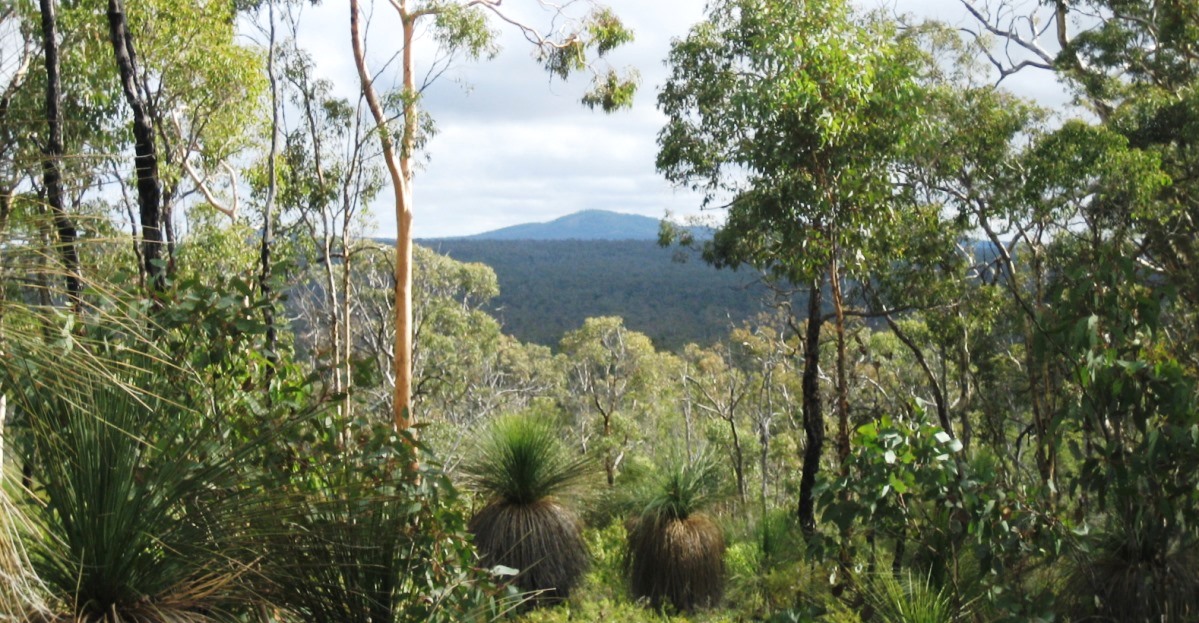
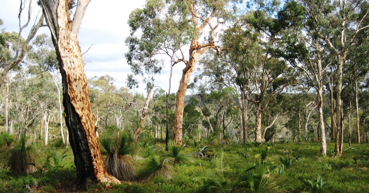
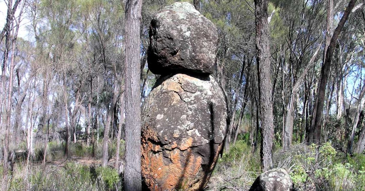
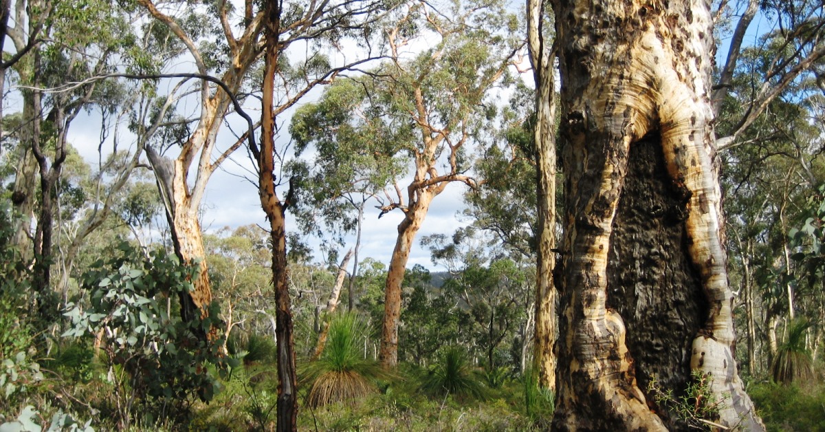
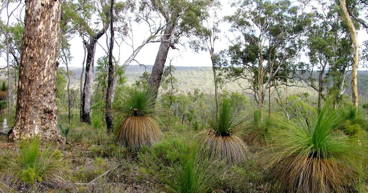
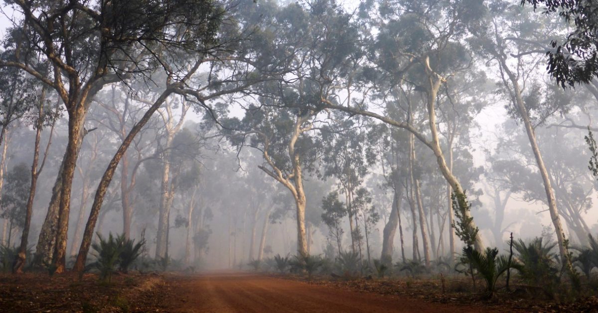
Often overlooked by walkers in the past, this area offers pleasant wandoo woodland walking and more variety in terrain than the better known Christmas Tree Well Walk to the east. The walk route initially heads NW over an unnamed hill to the Running Brook valley. Along the way there are good views to Mount Dale and across the surrounding forest. The route also visits an intriguing standing rock figure sculpted by nature. Despite the variety in terrain, the slopes are relatively gentle. The short walk option (10km) is also very worthwhile.

  • Main features / Highlights

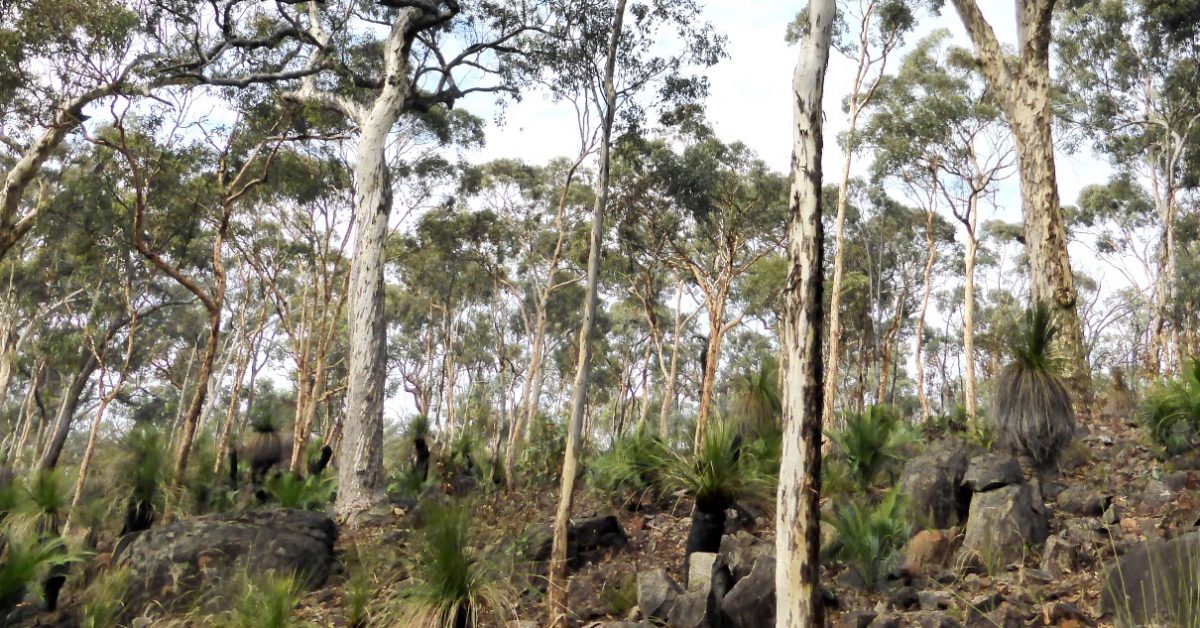
    This area has often been overlooked by walkers in the past, yet this walk includes similar opportunity for some pleasant wandoo woodland walking and covers more variety in terrain than the better known Christmas Tree Well Walk to the east, which starts from the same point. The route initially heads NW over an unnamed hill to the Running Brook valley. Along the way there are good views to Mount Dale (14km NW) and across the surrounding forest.There is an interesting mix of open forest, mainly jarrah-marri, but also about 25% picturesque wandoo woodlands.The route also crosses two sizeable granite slabs, and visits an intriguing ‘standing granite figure’ sculpted by nature, plus a cluster of large boulders along a ridge east of Running Brook. Despite the variety in terrain, the slopes are relatively gentle. Expect a few short sections of low scratchy heath.

    The walk route also traverses much of the summit ridge of the unnamed main hill in the area. Like Mount Yetar 29km to the north, the ridge of this hill has an unusual horseshoe shape, with a central valley opening toward the Christmas Tree Well area to the southeast. Curiously although the hill is unnamed, it is somewhat higher (elevation ~377m) than several other named hilltops in the wandoo woodlands such as Mount Observation (365m);  Mount Yetar (350m); Ngangaguringguring Hill (316m); and it is only a little lower than Gunapin Ridge (388m).

    Short walk option (10km): A simple short-cut bypassing the NW area of the walk route still provides a very worthwhile walk. (See Route notes for details.)

  • Route notes

    NOTE: The following is for the revised walk route (as revised June 2017).

    Head initially NNW from the start point (at waypoint ‘START’) to meet within 100m an old vehicle track. Veer right to follow the track northward. The road veers left (westward) at ‘2’ and and after ‘2-1’ soon starts climbing gently NW along the edge of the Dale Pine Plantation on the left.  After about 750m from the start point, when the road again veers left (at ‘3’), leave the road to head northward off-track, uphill through a patch of fairly open parrot bush to reach open jarrah forest close to a ridge (at ‘4’).  Veer approx. WNW to walk along the lateritic surface, skirting occasional patches of parrot bush, with the crest of the ridge to your right. After about 400m (at ‘5’) veer NW to head upslope, but still keeping the crest of the ridge to your right. Soon (at ‘6’) veer northward, climbing toward the crest of the ridge and bypassing a valley on your left.  Then veer NNW (at ‘6-1’) and soon pass through another patch of fairly open parrot bush into open jarrah forest on a lateritic plateau. After about 400m, reach the NW-sloping edge of the plateau, gaining a good view across the forest to Mount Dale 14km to the NW. Descend to an outcrop at ‘7’ and turn right to follow the outcrop along slope for 50m to its eastern edge at ‘8’. Turn left (NNW) down the gentle slope through low heath, following animal tracks, to reach a  granite slab (‘9’).  Veer westward (left) down the slab (to ‘9-1’), then re-enter jarrah forest and continue westward, initially along slope and then gently downslope. Veer WNW at  ‘9-2’. The slope initially steepens then flattens off toward the heath-covered Running Brook valley floor. Cross an old vehicle track at ‘9-3’. Reach a cleared area and pass a water storage pond before crossing a small culvert (at ‘9-4′) on Running Brook to meet Running Brook Road (vehicle track)  at ’10’.  Cross the road and head westward up the hillside past an excavated water pit. (Or see Option 1 below for the short, 10km walk option.) Veer right at ’11’  to head NNW along slope through open jarrah forest via ’11-1′. Turn westward at ’12’ and descend very gently across a lateritic slope through wandoo woodland via ’12-1’, crossing a forestry vehicle track (at ’12-2′), to reach a stream course (at ’13’). Follow the valley floor westward (upstream; via ’13-1′) through open wandoo woodland, then veer right after 600m (at ’14’) to cross the stream course and head WNW gently uphill through jarrah forest to meet another forestry vehicle track (at ’15’).  Follow the track NE for 400m, onto a broad ridge. Then (at ’16’) leave the track and head approx. NNE gently downhill through heath via ‘16-1’ to reach an eastward-sloping granite slab (at ’17’). Turn left (WNW) to cross patches of heath and very soon reach a larger NE-sloping granite slab (at ’18’).  Follow the outcrop very gently downslope for about 100m to ‘19’.  Then veer left (NNW) to leave the outcrop and cross open heathland for about 400m to reach the head of a side valley and wandoo woodland at ‘20’.  Turn right to follow the valley floor NE to ‘21’.  Then veer left (NNE) and soon cross an old forestry vehicle track (at ’21-1′). Head north-NNE gently upslope onto a broad ridge (at ’22’; this is at the approximate half-way point on the walk).  Veer NE along the ridge to reach a small north-sloping granite outcrop (at’23’). Head SE from the outcrop through a stand of sheoaks along the rocky NE-flank of the low ridge to ’23-1′, to reach an intriguing ‘standing rock figure’. Turn sharp right and climb to the nearby rocky knoll on the hilltop at ’24’. Then veer left to head ESE down the hillside. Re-cross the old vehicle track at ’24-1′ and then cross the floor of the side valley at ’24-2′ and head SE along slope to rejoin Running Brook Road at ’25’. Turn right to follow the road southward for 750m along Running Brook valley. At ’26’ veer left (SE) to cross the nearby stream course of Running Brook and climb through wandoo woodland to a ridge crest at ’27’. Head gently upslope eastward along the ridge, passing through patches of low heath and a large dolerite boulder near ’27-1′. Continue eastward, passing more large boulders and gaining a view southward across the side valley. Cross a prominent cluster of large boulders on the hilltop at ’27-3′. Descend to ’28’, then veer left (NE) and meet an old forestry track at ’29’ in open jarrah forest. Veer right and ascend a mostly gentle, partly rocky slope ESE-ward through open shrubland. Veer right (SE) at ’29-1′ to continue upslope and back into wandoo woodland at ’30’. (Or see Option 2 below for a short-cut after ‘29-1’.)  The route takes a short detour to allow you to explore some very picturesque woodland and enjoy views along the NE-sloping hillside. Turn right at ’30’ and walk SW-ward across the head of a gully to ’31’.  Then turn sharp left at ‘31’ and head ENE through woodland (via ’31-1’) near the upper edge of the lateritic slope. Descend to ’32’ and veer right (ESE) to ’32-1′ and cross low heathland along the NE -sloping hillside, gaining a good view northward across the forest. Continue along slope via ’32-2′. Cross a small, low outcrop and then veer SE-ward at ’32’ to climb gently and soon re-enter wandoo woodland and reach the summit area of this unnamed hill at ’34’. Cross the actual summit point at about ’34-1′ (elevation ~377m). Continue down the steeper SE ridge via ’34-2′.  The slope flattens off. At ’35’ veer right and head south gently downslope SSW. Soon cross an old forestry track (at ’36’), then veer right (SW) across very gentle terrain before descending more steeply to rejoin an old forestry track at ’37’. Follow the track S-ward (via ’38’ and  ‘1’) to get back to the Start point at the picnic area.

    Option 1, to shorten the walk to 10km: Upon reaching Running Brook Road at waypoint ’10’, turn right to follow the road northward (toward waypoint ’26’) for about 400m. Then veer right off-track to re-cross Running Brook and head NNE upslope reach the ridge at ’27’. Continue the described route from there via ’27-1′ etc. This short-cut bypasses the NW area of the walk route and reduces the total walk distance to around 10km.

    Option 2, to shorten the walk by 300m:  After reaching ‘29-1’ you can opt to continue about 400m ESE up the hillside directly to ’32’ as a short-cut (bypassing ‘30’ and ‘31’), then continuing as per the described route via ‘32-1’ etc. This simple short-cut bypasses some  picturesque wandoo woodland on the recommended route above, but reduces the total walk distance a little (by about 300m).

  • Access / Directions

    64km SE of Perth, along Brookton Hwy to Christmas Tree Well picnic area entry road on left (about 700m after Dale Pine Plantation and before Yarra Road). Follow the entry road to the picnic area about 500m off Brookton Highway (signposted on Brookton Highway). Park at the picnic area carpark.

    Google Map

  • Nearest campsite/s

    N/A.

  • Escape route/s

    Via Running Brook Road (dirt road) south to Brookton Highway;

    or in east, south to dirt road skirting Dale Pine Plantation;

    or in west, west to Beraking Brook Road (dirt road) then south to Brookton Highway.

  • Other Info.
    Other map availability

    South West WA 25K Scale Topo Maps”, Greg Harewood & Landgate,  2015.  – Digital raster; ECW format on 16GB USB. See tile #311-2133-I-SE for relevant map coverage.

Back to top