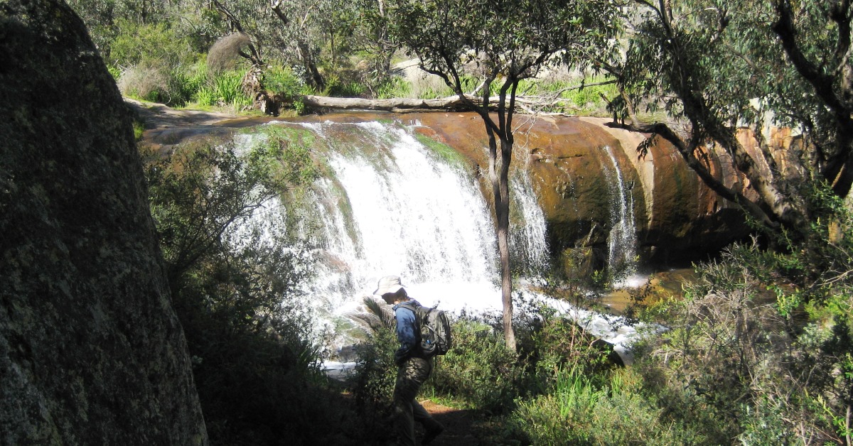
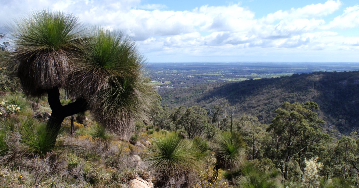
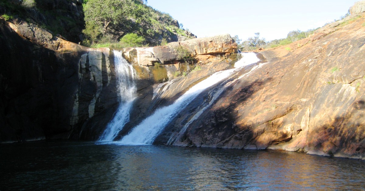
“Baldwins Bluff Nature Track”, DBCA site. – A 6km on-track return walk to a prominent ridge just SW of Serpentine Falls, with good views across the Falls and up the valley.
“Kitty’s Gorge, Serpentine NP, Jarrahdale”, Trails WA site. – For info, specifically on the 16km return Kitty’s Gorge Walk Trail.
“Register of Heritage Places – Assessment Documentation – Spencer’s Cottage”, Heritage Council of W.A., ca.1994. – This contains an excellent summary of the history of this colonial homestead of Joshua Spencer and his descendants who had a long association of around 115 years with the ‘Carralong’ property beginning in 1860. The cottage dates from that time and was entered on the Register of Heritage Places in 1994.
“Serpentine Falls – Kittys Gorge, Western Australia” , WalkGPS video – Impressions from the walk area.
“Serpentine National Park”, DBCA site. – Includes a downloadable Park Guide and Flora & Fauna Guide.
Serpentine National Park Management Plan 2000-2009, CALM, 2000 – The Plan has summaries of the flora & fauna, geology, history, past park plans, etc.
“Travellers guide to the Parks & Reserves of Western Australia”, Simon Nevill, 4th Edn. 2011, pp. 52-53 (Simon Nevill Publications), also includes a brief summary of Serpentine National Park.
“Walks and Parks of Jarrahdale”, Jarrahdale Heritage Society site. – For downloadable trails maps of established trails in the area.
Weed control – Attempts have been made to control, if not eradicate, serious weed infestations along the section of Gooralong Brook that runs through the former recreation area in the north. Further downstream large sections of the Brook remain severely choked by four of the worst invasive weeds in the region: Arum lilies (Zantedeschia aethiopica), Blackberry (Rubus fruticosus), Narrow-Leaf Cotton Bush (or Swan Plant; Gomphocarpus fruticosus) and Watsonia spp. The Cotton Bush has also intensively invaded the former farmland around Spencers’ mud cottage along the walk route and attracts large numbers of Wanderer (Monarch) butterflies (Danaus plexippus) to the area as the larvae feed on the weed (but don’t control it).
Watsonia also invades many other areas along the western edge of the Darling Range, especially around the water courses that cut the Darling Scarp. A selective herbicide, 2-2DPA (‘Dalapon’), is now being used to destroy the weed, with encouraging results so far, including re-emergence of native heathland plants. Efforts by community groups to locally control this highly invasive weed elsewhere along the Darling Scarp, and at Piesse Brook, also appear to have had some local success.
Other map availability
“South West WA 25K Scale Topo Maps”, Greg Harewood & Landgate, 2015. – Digital raster; ECW format on 16GB USB. See tiles # 302-2133-III-NW and # 304-2133-III-SW for relevant map coverage.


