Bickley Reservoir – Ellis Brook Walk overview

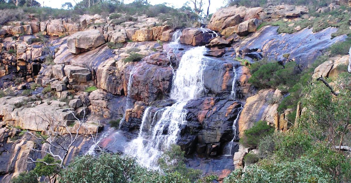
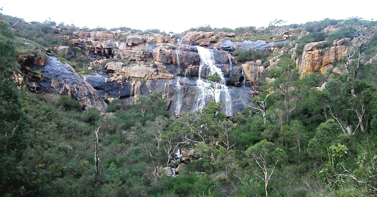
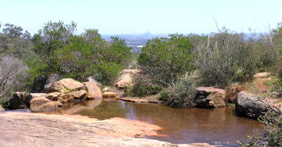
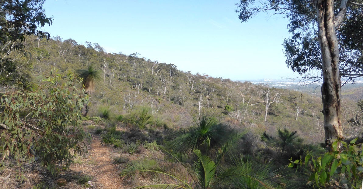
The highlight of this walk along the rugged Darling Scarp is the impressive 60 Foot Falls in Ellis Brook Valley Reserve in the south. The remainder of the walk, mainly within Banyowla Regional Park, includes invigorating traverses of a few of the valleys and ridges along the Scarp. There are some excellent views across the Swan Coastal Plain and to Perth city, only 18km away. (NOTE: This route includes minor revisions of Nov. 2024.)

  • Main features / Highlights

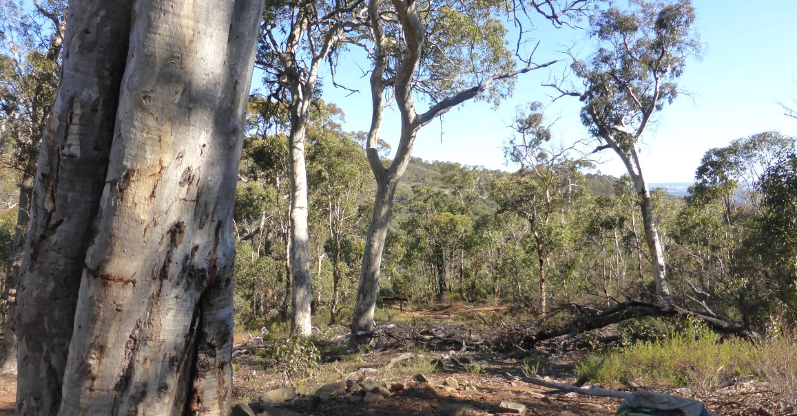
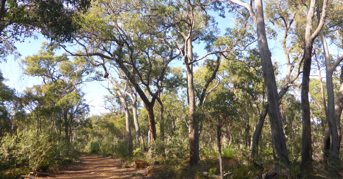
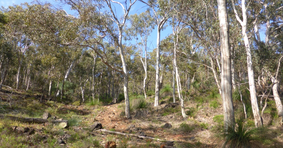
    This walk area is mainly within the Banyowla Regional Park and starts in the north at Hardinge Park adjacent to Bickley Brook Reservoir.  The first half of the route is the most interesting and varied. It follows the edge of the Darling Scarp (the western edge of the Darling Range) and crosses/skirts a few of the small valleys where the Scarp has been incised by streams. It also passes close by the large (and unfortunately still-expanding) Boral Quarry pit in the north. There are some excellent views across the Swan Coastal Plain and to Perth city, 18km WNW.  The highlight at the halfway point is the impressive 60 Foot Falls in Ellis Brook Valley Reserve in the south. The vegetation varies from jarrah-marri forest to heathlands and some wandoo woodlands. The second half of the walk is across mainly gentle terrain, aside from the final steeper descent to Bickley Brook Reservoir.

    As an alternative shorter walk (7-8km) the second half of the walk can be omitted if preferred by doing an initial car shuffle to leave an extra car at the Ellis Brook Reserve car park at the end of Rushton Road in the south.

    Alternative longer walk (16.5-19.5km):  The last part of the walk can be extended with a visit to the Victoria Reservoir (and Old and New Victoria Dams) which provides another scenic highlight and some  historic interest. See Route notes for details. Also see WalkGPS Victoria Reservoir-Bickley Brook Walk on this site also for an alternative walk route in this general area. (The old Victoria Dam opened 1891 and provided Perth city’s first permanent water supply. It was taken out of service and partly demolished 1990.) The extended walk  also includes part of the Mason & Bird Heritage Trail and crosses an old wooden bridge which was on the route of a 14.5km wooden-railed horse-drawn tramway operated between 1872 and 1882 to transport newly logged jarrah timber  from Mason’s Mill to the Canning River. (Mason’s Mill was the first sawmill in the Darling Range, built in the early 1860’s. Railway sleepers were exported from the colony to India.)

  • Route notes

    (NOTE: This route includes a revision of Nov. 2024 after waypoint ’40’.)

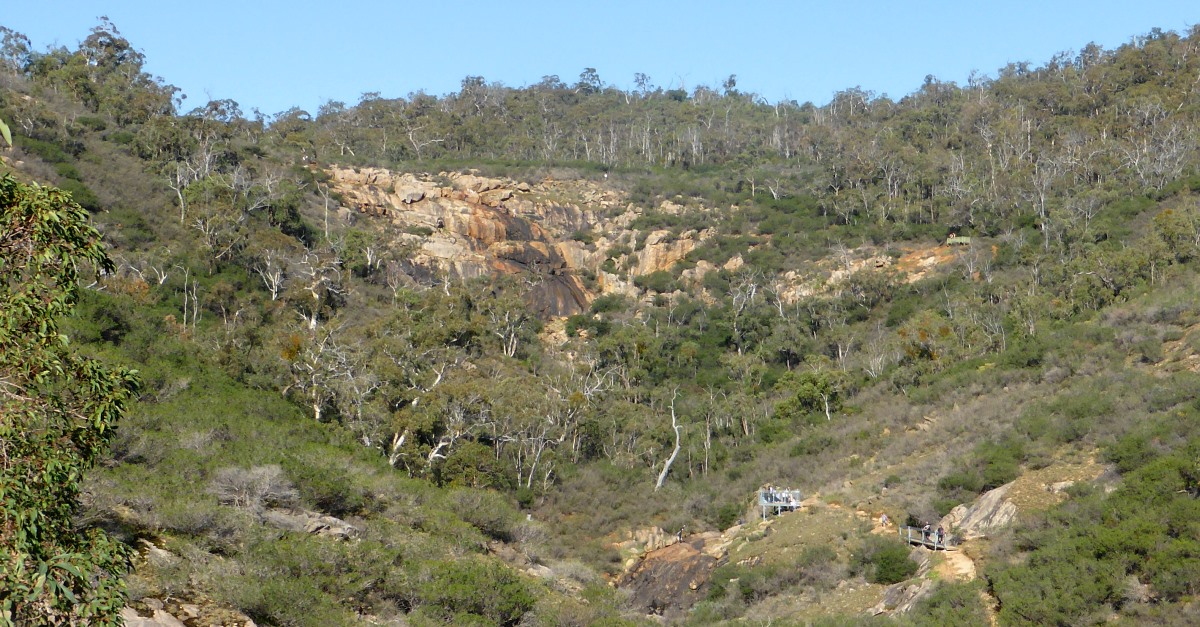
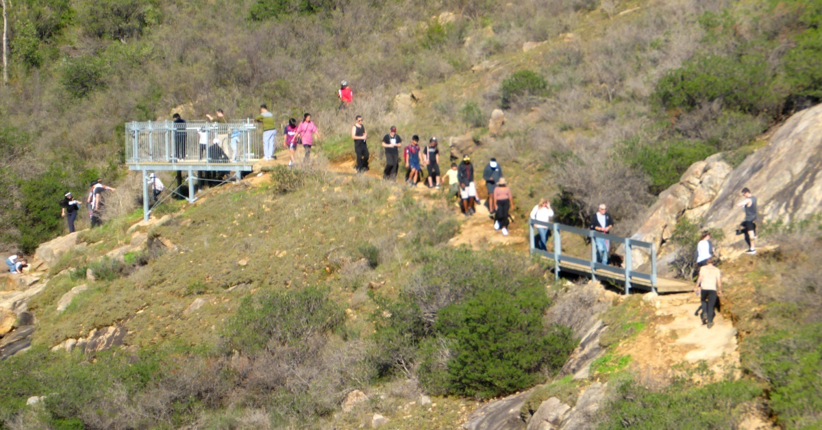
    Start from the Hardinge Park parking area (at waypoint ‘START’) and cross Hardinge Road to the junction of two old vehicle tracks at ‘1’ within 25m of the road. Take the vehicle track that initially swings to the left (ESE), then within 50m meets a Y-junction at ‘2’. Take the right hand fork and follow the wide vehicle track steadily uphill SSW, mainly flanked by sheoak thickets, but with some views WNW to Perth city. Arrive at a track junction at ‘3’. Then veer sharp left (ESE) and more steeply uphill, now flanked by wandoo woodland. At ‘4’ the track passes within 100m of the northern edge of the deep Boral Quarry on the right. (This can be viewed by diverting down a short sidetrack on the right at ‘4-1’, but keep well back from the sheer drop! ). If walking on a week day, be prepared for much noise from the quarry operations. Continue via ‘4-2’, heading ESE as the track climbs more gently to a ridge into jarrah forest and crosses a track junction at ‘5’.  Turn right at ‘6’ to follow an old, partly overgrown track southward for 150m through the jarrah forest and parrot bush understorey. Cross another old vehicle/dozer track at  ‘7’ and follow a narrow foot-pad initially toward the SW to ‘7-1’ where the track turns sharply SSE downhill through tall heathland and may be a challenge to follow in places. (Take care you don’t continue SW off-track beyond ‘7-1’ as the steepening slope in that direction leads to the precipitous edge of the quarry only 150m away!) Cross a small stream at ‘8’ and head up the lightly wooded hillside to ‘9’ picking your own clearest off-track route as the foot-track disappears after the stream crossing. Then veer sharply right (SW) to reach a small escarpment of laterite boulders at ‘10’. Veer left (SE) to ascend onto the almost flat pebbly/rocky surface of a laterite plateau. Continue SE, picking the easiest way through the patchy understorey of ‘Prickly Moses’ and other shrubs, to reach a W-E vehicle track at ‘11’. Turn left to follow the vehicle track eastward for about 250m to ‘12’, then veer right off-track to head initially SE through mostly quite open jarrah forest with little understorey.  At ‘13’ veer more southward to reach the southern margin of the plateau surface by ‘14’, then veer SW (right) to descend the initially rocky, steeper slope.  Cross an old overgrown vehicle track at ‘15’ and continue SW, still off-track, to meet at ’16’ a narrow foot-track which follows the route of a now mostly  overgrown old vehicle track . Follow the foot-track SW down the steepening hillside. After about 200m the track veers southward to reach Stokely Creek (at ‘17’).   After crossing the creek follow the track SSE up the side valley via ‘18’ passing a patch of open wandoo woodland to reach a saddle on the ridge. Veer right (initially southward) at the junction at ‘19’ where another vehicle track joins from the left.  Then follow the vehicle track as it descends SW-ward from the ridge into Ellis Brook valley. Initially it descends part way down a narrow side valley flanked by wandoo trees, then after about 400m it swings onto a small spur ridge, and passes on the left a cyclone fence which surrounds the abandoned Barrington Quarry. (This quarry was opened in the 1950’s and was closed in 1963. It was then used for some time as a popular swimming hole known as “the rockies”, but is now fenced off for safety reasons.)  The track soon after meets the old road to the quarry (at ‘20’). Turn left at the junction and walk south for less than 50m (to ‘21’) across an open gravelled area which was formerly part of the quarry.  From ‘21’ you get a great view up the valley to Sixty Foot Falls, only 400m to the SE. The Falls make an especially impressive sight when flowing after heavy winter rain. After soaking up the view head back across the gravelled area to locate at ‘22’ the entry to the track down to Ellis Brook. Follow the well-formed  foot-track down the hillside to cross Ellis Brook via a small footbridge, and turn left at the track junction at  ‘23’ to follow the foot-track SE-ward up the valley to Sixty Foot Falls. (Note: Turning right at ‘23’ would take you to the nearby carpark at the end of Rushton Road which provides an alternative Start point for the walk circuit). At ‘24’ a short sidetrack (less than 50m) offers a good vantage point for viewing the Falls, only 100m away. The track then climbs quite steeply to a lookout platform at ‘25’ from where there are good views back down the valley and across the Falls. At ’26 the track reaches a bare granite outcrop at the top of the Falls. If Ellis Brook is flowing this makes a nice spot to stop for lunch and to take in the city view before crossing the stream and following the foot-track up  the hill. After crossing the stream, veer left at ‘27’. On reaching a Y-junction at ‘28’ take the less distinct right-hand (NNE) fork which heads NNE up the hillside. The foot-track soon veers eastward, onto a broad ridge and reaches a large granite outcrop at ‘29’. (Here you can take a diversion about 80m to the left through the heath to obtain good westward views across the Swan Coastal Plain). The track soon re-enters tall heath and shrubland with dense Calothamnus and Hakea shrubs which tend to encroach from both sides during periods between occasional track maintenance. Soon after ‘30’ the track crosses a forested laterite plateau via ‘31’, and then gently descends to meet another vehicle track at ‘32’. Turn left and follow the track northward via ’33’ and on to ‘34’.  Then veer off-track to the right, following traces of an old very overgrown vehicle track for about 100m to ‘35’. Continue off-track, veering left (NNE) to reach a vehicle track at ‘36’. Immediately before reaching ‘36’ you will pass a large excavated pit or waterhole containing a stand of paperbarks. This is most often dry, but becomes quite picturesque when filled.) Turn left onto the vehicle track and follow it initially NW-ward to ‘37’ and then northward via ‘38’ to reach a Y-junction at ‘39’. Veer left (initially NW) at ‘39’ to take the track to the left. (Or see Option below  for an extended walk to visit Victoria Reservoir.) Follow the vehicle track along a broad ridge through jarrah forest to another Y-junction at ‘40’. Follow the right-hand track to descend initially gently NW-ward. The track soon begins to descend quite steeply and veers northward, with the flanking forest giving way to open heathland and good views over Bickley Valley. After the track curves left, back toward the northwest, locate the entry to an old vehicle track on the left at ’41’. Follow this track WSW-ward across the hillside. After a few minutes, when the track begins to curve upslope to the left at ’42’, continue ahead to descend briefly off-track through open wandoo woodland and meet a foot track at ’43’ in a nearby gully. Turn right to follow the track northward down the initially narrow gully, flanked mainly by heathland. After about 5 minutes the track curves to the left (NW-ward) and soon reaches a T-junction at ’44’ near a stream crossing. Turn left to follow the foot-track WNW-ward along the hillside, passing mainly through heathland and across some rocky terrain, obtaining a good view across the valley and down to Bickley Reservoir. After about 5 minutes reach a vehicle track at ’45’. Turn right to retrace your earlier steps from here via ’46’ and ’47’ to return to the Start point.

    Option to extend walk (after ‘39’) to visit Victoria Reservoir:  A foot-track also leaves on the right at the Y-junction of vehicle tracks at ‘39’. The foot-track leads to Munday Brook valley and the Victoria Reservoir which is a good option for those keen for a longer walk back to Bickley Reservoir than the one described here. See WalkGPS Victoria Reservoir-Bickley Brook Walk for details of that track.

  • Access / Directions

    Orrong Road or Albany Hwy to Welshpool Road, then right onto Tonkin Hwy, left into Kelvin Road (about 3.8 kms down Tonkin Hwy), right into White Street, and left into Hardinge Road.  Follow  Hardinge Road for 1.2km to Hardinge Park on the left and park in the parking area (picnic area,  public toilets and barbecues nearby).

    Google Map

  • Nearest campsite/s

    Bickley Outdoor Recreation Camp  –  Managed by DLGSCI-Sport & Rec. Located alongside Bickley Reservoir near the walk start point. Offers tent camping as well as dormitory accommodation though caters primarily to larger groups.

  • Escape route/s

    Toward Hardinge Road in the north or Ellis Brook Valley carpark (and Rushton Road) in SSW.

    Alternatively, in south, for easiest escape to nearest sealed road to SSE follow various tracks to reach the Muja-Kwinana powerline track at waypoint ‘PL-1’. Follow a vehicle track from there which crosses under the powerline and heads initially mainly due south, then curves east to meet corner of Douglas and Versteeg Grove Rds (sealed) and nearby private residences. Alternatively from ‘PL-1’  follow the powerline track 2.7km SW to meet Mills Rd East (sealed).

  • Other Info.

    City of Gosnells, Walk Trails.

    “Ellis Brook Valley – Walk Trails Map”, City of Gosnells, 2014 – Pocket map & notes. Includes  Sixty Foot Falls Trail and Eagle View Trail (not to be confused with Eagle Vew Trail, John Forrest N.P.!) and other easy short walk trails at Hoenyeater Hollow picnic area off Rushton Rd.

    “Heritage Country Trails – Bushwalks & Trails in Perth’s Heritage Country”, City of Armadale, 1999 (ISBN 0-646-38397-3). This out-of-print booklet included brief descriptions of a few walks in the Ellis Brook-Bickley Brook area which partly overlap with this walk. Be aware that the “Ellis Brook Valley Trail” has not been maintained in the north and is now much more poorly marked than this old booklet might imply.

    “Sixty Foot Falls Trail, Ellis Brook Valley”, Trails WA.

    Other map availability

    South West WA 25K Scale Topo Maps”, Greg Harewood & Landgate,  2015.  – Digital raster; ECW format on 16GB USB. See tile #314-2133-IV-NW for relevant map coverage.

Back to top